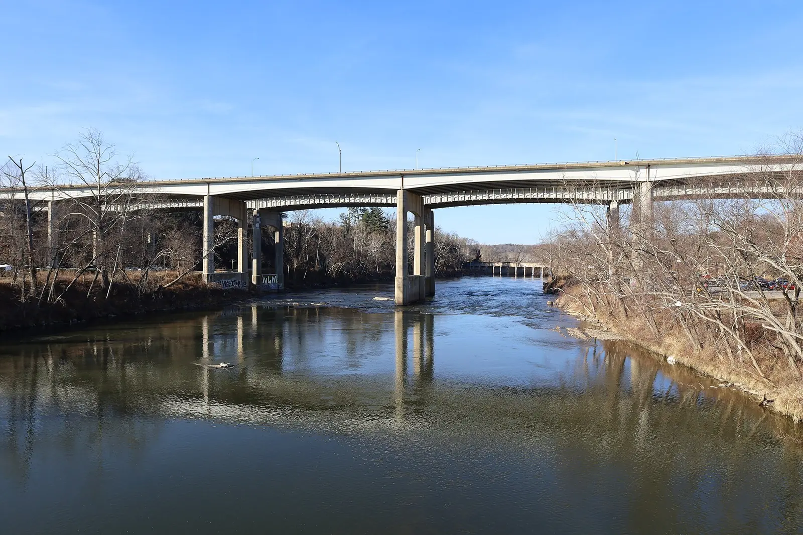
Pearson Bridge Road is closed at Riverside Drive through Nov. 6 and Hill Street is closed for I-26 Connector work. Check DriveNC or dial 511 before you go.
Last checked Oct. 24, 2026. Refreshed every week. State work zones below come from DriveNC.gov, the N.C. Department of Transportation’s traveler information site, for Buncombe County. Times are Eastern.
Asheville’s interstates and U.S. highways, including I-40, I-26, I-240 and U.S. 19/23, belong to the state. NCDOT’s Division 13, with its office at 55 Orange St. in Asheville, runs them. City streets belong to the City of Asheville. The biggest job on the map is the I-26 Connector, which will keep work zones on I-240, I-40 and U.S. 19/23 for years. Conditions change by the hour, so check DriveNC.gov or dial 511 before you leave.
Who to call
- City streets, potholes, sidewalks: City Customer Service, 828-251-1122, or The Asheville App
- I-26 Connector questions: project hotline 855-925-2801 (code 11368), i26connector@ncdot.gov
- Live state road conditions: dial 511 or see DriveNC.gov
- City street closures: street closures map
- Emergency or crash blocking a road: 911
Closures and lane closures in Asheville now
| Road | Where | What | Until |
|---|---|---|---|
| Pearson Bridge Road, both directions | Riverside Drive to Richmond Hill Drive | Closed, construction | 5 p.m. Friday, Nov. 6 |
| Hill Street | Atkinson Street to Riverside Drive | Closed both directions, construction | 5 p.m. Dec. 31, 2027 |
| Ramp from U.S. 19 North to Patton Avenue | Flyover ramp to Westgate Parkway | Ramp closed, construction | 5 p.m. Dec. 31, 2029 |
| I-40 West | Mile marker 45.5 to U.S. 19, after Exit 46-A (I-26 East) | Right lane closed, I-26 Connector work | 5 p.m. July 20, 2029 |
| I-40, both directions | Mile markers 43.5 to 46.5 | Shoulders closed, I-26 Connector work | Feb. 18, 2028 |
| I-26, both directions | Mile markers 30.5 to 31 | Shoulders closed, I-26 Connector work | Feb. 18, 2028 |
| U.S. 19 South | At Regent Park Boulevard | Left turn lane closed, I-26 Connector work | March 5, 2029 |
| I-26 East | Mile markers 38 to 38.5 | Right lane closed, construction | 6 a.m. Friday, Oct. 30 |
DriveNC does not list a detour for Pearson Bridge Road; follow the signs on site and check DriveNC.gov before you go.
Coming up
| Road | Where | What | When |
|---|---|---|---|
| I-26 West | Mile markers 27 to 26 | Right lane closed, construction | 8 p.m. Sunday, Oct. 25, to 6 a.m. Monday, Oct. 26 |
| I-240 East | Mile markers 2 to 3 | Right lane closed, construction | 9 p.m. Sunday, Oct. 25, to 6 a.m. Monday, Oct. 26 |
| I-240 | Near mile marker 8 | Shoulders closed, maintenance | 9 a.m. to 4 p.m. daily, Monday, Nov. 2, to Friday, Nov. 6 |
| Ramp from I-240 East to U.S. 70 | Ramp | Shoulders closed, maintenance | 9 a.m. to 4 p.m. daily, Monday, Nov. 2, to Friday, Nov. 6 |
| Ramp from I-240 West to Charlotte Street | Ramp | Shoulders closed, maintenance | 9 a.m. to 4 p.m. daily, Monday, Nov. 2, to Friday, Nov. 6 |
| Ramps from I-40 East and West to U.S. 25A | Ramps | Shoulders closed, maintenance | 9 a.m. to 4 p.m. daily, Monday, Nov. 2, to Friday, Nov. 6 |
| I-26 and its New Stock Road ramps | Mile markers 20 to 22 | Shoulders closed, maintenance | 9 a.m. to 4 p.m. daily, Monday, Nov. 2, to Friday, Nov. 6 |
Dates and times are as NCDOT lists them on DriveNC; crews often finish early or run late, and the long-term closures are reviewed as the work moves.
Elsewhere in Buncombe County
| Road | Where | What | Until |
|---|---|---|---|
| Bee Tree Road | Jazaka Ridge Lane to Smokey Mountain Drive | Alternating lanes with a temporary signal, road widening | Oct. 30 |
| Chestnut Hill Road | Miller Cove Road to NC 9 | Closed, maintenance | 6 a.m. Monday, Oct. 26, to 6 a.m. Monday, Nov. 16 |
| Ivy Hill Road | At Arrowood Road | Closed, bridge replacement | Jan. 28, 2027 |
| Old Burnsville Road | Miles Way to Mareldo Drive | Closed; detour by Old Mars Hill Highway and Locust Grove Road | May 15, 2027 |
| NC 9 | Carol Lane to U.S. 74A | Local traffic only, Helene damage | Jan. 8, 2027 |
| 9th Street | North Cherokee Avenue to Hiawassee Avenue | Closed, maintenance | Aug. 11, 2027 |
The Blue Ridge Parkway is closed between mileposts 344 and 355, from NC 80 to the Mount Mitchell State Park road, because of Helene damage. The parkway belongs to the National Park Service, not NCDOT; check the parkway’s road status page before a drive.
The I-26 Connector
NCDOT’s project page describes a 7-mile, median-divided freeway with interchange-only access linking I-26 in southwest Asheville to U.S. 19/23/70 in northwest Asheville. It is project I-2513, funded for about $1.8 billion, in five sections:
- AC: upgrading I-240 from the I-40 interchange to Haywood Road, including the Brevard Road and Amboy Road interchanges.
- AA/AB: first improvements at the I-26/I-40/I-240 interchange and on I-40 out to Smokey Park Highway.
- B: a new interstate from the Haywood Road interchange north across the French Broad River, joining U.S. 19/23/70 north of Broadway.
- C: the I-40 interchanges with Smokey Park Highway, I-26/I-240 and Brevard Road. NCDOT says this section will be reprioritized for funding and has no construction schedule yet.
- D: Riverside Drive from Hill Street to Broadway.
When it is finished, the freeway will carry I-26, which runs from Kingsport, Tennessee, to Charleston, South Carolina.
City streets
The city’s street closures map shows emergency and permitted closures approved by the city’s Transportation and Engineering Department. It does not include state roads or Metropolitan Sewerage District work; MSD posts its own closures at msdbc.org, according to the city’s closures page.
What this means for you
- Pearson Bridge Road is closed between Riverside Drive and Richmond Hill Drive until Nov. 6.
- Westgate-bound drivers from U.S. 19 North: the flyover ramp is closed for the long haul.
- I-40 West after Exit 46-A has a lane closed through the connector work.
- Check DriveNC or 511 the morning of a trip; overnight lane closures on I-26 and I-240 start Sunday night.
More: getting around Asheville and who to call at City Hall.
Frequently asked questions
How do I check road closures in Asheville?
For state roads and interstates, check DriveNC.gov, the N.C. Department of Transportation’s traveler site, or dial 511. City street closures are on the City of Asheville’s street closures map.
When will the I-26 Connector be finished?
NCDOT lists the project, I-2513, as funded for about $1.8 billion. The section across the French Broad River is under a design-build contract; the I-40 interchange section has not been scheduled for construction.
Is the Patton Avenue ramp to Westgate closed?
Yes. DriveNC lists the flyover ramp from U.S. 19 North to Patton Avenue and Westgate Parkway closed for construction until Dec. 31, 2029.
Who do I call about a pothole on an Asheville street?
Report city street problems in The Asheville App or call city Customer Service at 828-251-1122. State-maintained roads are NCDOT’s.
Have your say