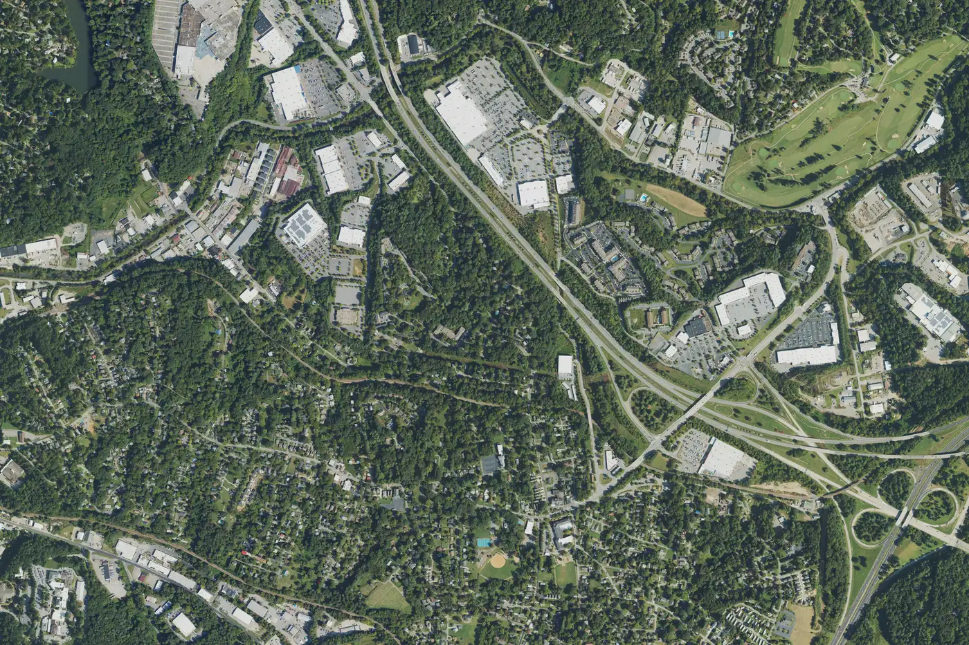
Oakley, southeast of downtown Asheville along Fairview Road, is ZIP code 28803, zoned for Oakley Elementary and A.C. Reynolds High, near I-240 Exit 8.
Last checked Oct. 11, 2026. Sources: the Oakley Plan on a Page filed with the City of Asheville’s neighborhood plans, Buncombe County’s school district map layer, the N.C. Department of Public Instruction’s 2025-26 accountability data, the U.S. Census Bureau’s geocoder, OpenStreetMap and Zillow Research.
Oakley is the neighborhood around Fairview Road, southeast of downtown, where I-40 and I-240 meet. The Oakley Neighborhood Association’s plan on a page, updated in 2021, says it is “nestled between Biltmore Village to the west and the Beverly Hills neighborhood to the east,” with “approximately 7,000 households” in “single-family homes, condominiums, affordable housing, mobile homes, and apartment complexes.” It is in ZIP code 28803 and Buncombe County Schools.
What this means for you
- Zoned high school: A.C. Reynolds High, 66.4% of state tests at grade level in 2025-26 and a four-year graduation rate above 95%.
- Home value: $437,927 in ZIP code 28803 in August 2026, according to the Zillow Home Value Index.
- Nearest interstate exit: I-240 Exit 8, about 1.9 miles by road from Murphy-Oakley Park; the plan also names I-40 Exit 53B.
Part of our Asheville neighborhoods guide.
Where it is
The plan calls “the area of Fairview Rd. with the Murphy-Oakley Park, Oakley Library, Oakley Elementary School, Oakley Community Center, fire station, and police resource station” the “central focal point of the community,” with “several large shopping areas on the east end of Fairview road and along Swannanoa River Road.” It says the area was first called West’s Chapel, took the Oakley name after “the City of Asheville took over Oakley School” in 1917, and was “not incorporated into the City of Asheville until 1960.” Oakley has “direct access to I-40 (via exit 53-B) and I-240 (via exit 8),” and a Blue Ridge Parkway entrance “less than 2 miles away.”
City or county? Six of the seven Oakley points we checked were inside the city limits on the Census Bureau’s geocoder: around Fairview Road, Sayles Village, East Biltmore, Linwood Park and Broadview. One, near Gashes Creek Road, was in unincorporated Buncombe County. See our property tax guide.
Schools
Oakley is in Buncombe County Schools, so homes here do not pay the Asheville City Schools supplement. All seven points fell in the Oakley Elementary zone on Buncombe County’s school district map layer, which feeds A.C. Reynolds Middle and A.C. Reynolds High.
Scores are the share of state tests at grade level or above in 2025-26 and the state’s growth rating, from the accountability data.
| Level | School | At grade level | Growth |
|---|---|---|---|
| Elementary | Oakley Elementary | 46.1% | Met |
| Middle | A.C. Reynolds Middle | 55.7% | Exceeded |
| High | A.C. Reynolds High | 66.4% | Met |
Buncombe County Schools is at 828-232-4160. More in our schools guide.
Home values
Zillow publishes no figure for Oakley. The Zillow Home Value Index is a modeled typical value for the middle third of homes, not a sale price.
| Area | August 2026 | August 2025 | Change |
|---|---|---|---|
| ZIP code 28803 | $437,927 | $463,251 | -5.5% |
| City of Asheville, for comparison | $448,688 | $472,411 | -5.0% |
ZIP code 28803 also covers Kenilworth, Biltmore Village, Shiloh and south Asheville. Trends are on our home prices page.
Parks and trails
From the city’s park finder:
- Murphy-Oakley Park, 715 Fairview Road: more than seven and a half acres with a lighted ballfield, an inclusive playground, racquet courts and a picnic shelter.
- Murphy-Oakley Community Center, 749 Fairview Road, home of the city’s therapeutic recreation afterschool program.
- Riverbend Park, 100 Bleachery Blvd., with a section of the Swannanoa River Greenway and one of the city’s temporary dog parks.
More in our parks and trails guide.
Getting around
- I-240: Exit 8 is about 1.9 miles by road from Murphy-Oakley Park.
- Downtown Asheville: about 3.9 miles by road.
- Asheville Regional Airport: about 11 miles by road.
- Buses: ART’s S5 runs from the ART Station through Biltmore Village and along Fairview Road to Bleachery Boulevard, on the city’s maps and schedules page.
Distances were measured with the OSRM routing engine on OpenStreetMap roads from Fairview Road at Murphy-Oakley Park. They are distances, not drive times. More in our getting around guide.
Groceries and everyday stores
From OpenStreetMap:
- Hopey & Co Grocery, 800 Fairview Road
- Walmart Supercenter, 125 Bleachery Blvd., and ALDI, 480 Swannanoa River Road
- CVS Pharmacy, 11 River Ridge Drive
Frequently asked questions
Where is Oakley in Asheville?
Southeast of downtown, between Biltmore Village to the west and the Beverly Hills neighborhood to the east, according to the Oakley neighborhood’s plan. Its center is Fairview Road around Murphy-Oakley Park.
What schools serve Oakley?
All seven Oakley points we checked were zoned for Oakley Elementary, A.C. Reynolds Middle and A.C. Reynolds High, in Buncombe County Schools.
When did Oakley become part of Asheville?
In 1960, according to the neighborhood’s plan, which says the area was first called West’s Chapel and took the Oakley name after the city took over Oakley School in 1917.
What is the typical home value in Oakley?
Zillow publishes no Oakley figure. Its typical value for ZIP code 28803, which includes Oakley, was $437,927 in August 2026, down 5.5% in a year.
Have your say