Shiloh, between Hendersonville and Sweeten Creek roads south of I-40, is ZIP code 28803, zoned for T.C. Roberson High, with a city park on Shiloh Road.
Last checked Oct. 11, 2026. Sources: the Shiloh Community Plan on a Page and the Shiloh Community Plan 2025 on the City of Asheville’s neighborhood plans page, Buncombe County’s school district map layer, the N.C. Department of Public Instruction’s 2025-26 accountability data, the U.S. Census Bureau’s geocoder, OpenStreetMap and Zillow Research.
Shiloh is a neighborhood of bungalows and ranch houses just south of I-40, between Hendersonville Road and Sweeten Creek Road. The Shiloh Community Association’s plan on a page says it has “over 1000 households with bungalows and ranch style homes which have porches.” The city adopted the Shiloh Community Plan 2025 on Sept. 14, 2010. Shiloh is in ZIP code 28803.
What this means for you
- Zoned high school: T.C. Roberson High, 66.7% of state tests at grade level in 2025-26 and a four-year graduation rate of 92.4%.
- Home value: $437,927 in ZIP code 28803 in August 2026, according to the Zillow Home Value Index.
- Nearest interstate exit: I-40 Exit 51, U.S. 25 Alternate (Sweeten Creek Road), or Exit 50, U.S. 25, about 2.1 and 1.6 miles by road from Brooklyn Road.
Part of our Asheville neighborhoods guide.
Where it is
The plan on a page says Shiloh “is located in South Asheville and bordered by Hendersonville Road to the west and Sweeten Creek to east and north, bounded on the north by I-40 and on the south by Rock Hill Road.” The 2010 plan’s core area covers “approximately 240 acres,” “largely residential in nature,” with most of it in single-family homes at about four homes an acre. The city places Shiloh in its South planning area.
History. The plan on a page says Shiloh “was established in 1870 and located where the Biltmore Estate is today.” When George Vanderbilt bought the land in the late 1880s, “he moved the entire community, including Shiloh AME Zion Church and the church’s cemetery to its current location.” The Shiloh Community Association was founded in 2000.
All four Shiloh points we checked were inside the city limits on the Census Bureau’s geocoder.
Schools
Shiloh is in Buncombe County Schools, so homes here do not pay the Asheville City Schools supplement. All four points fell in the W.W. Estes Elementary zone on Buncombe County’s school district map layer, which feeds Charles T. Koontz Intermediate, Valley Springs Middle and T.C. Roberson High.
Scores are the share of state tests at grade level or above in 2025-26 and the state’s growth rating, from the accountability data.
| Level | School | At grade level | Growth |
|---|---|---|---|
| Elementary | W.W. Estes Elementary | 63.2% | Met |
| Intermediate | Koontz Intermediate | 56.3% | Not met |
| Middle | Valley Springs Middle | 65.9% | Exceeded |
| High | T.C. Roberson High | 66.7% | Exceeded |
Buncombe County Schools is at 828-232-4160. More in our schools guide.
Home values
Zillow publishes no figure for Shiloh. The Zillow Home Value Index is a modeled typical value for the middle third of homes, not a sale price.
| Area | August 2026 | August 2025 | Change |
|---|---|---|---|
| ZIP code 28803 | $437,927 | $463,251 | -5.5% |
| City of Asheville, for comparison | $448,688 | $472,411 | -5.0% |
Trends are on our home prices page.
Parks and trails
From the city’s park finder:
- Shiloh Park, 121 Shiloh Road, with a ballfield, basketball courts, a fitness course, a playground and open space.
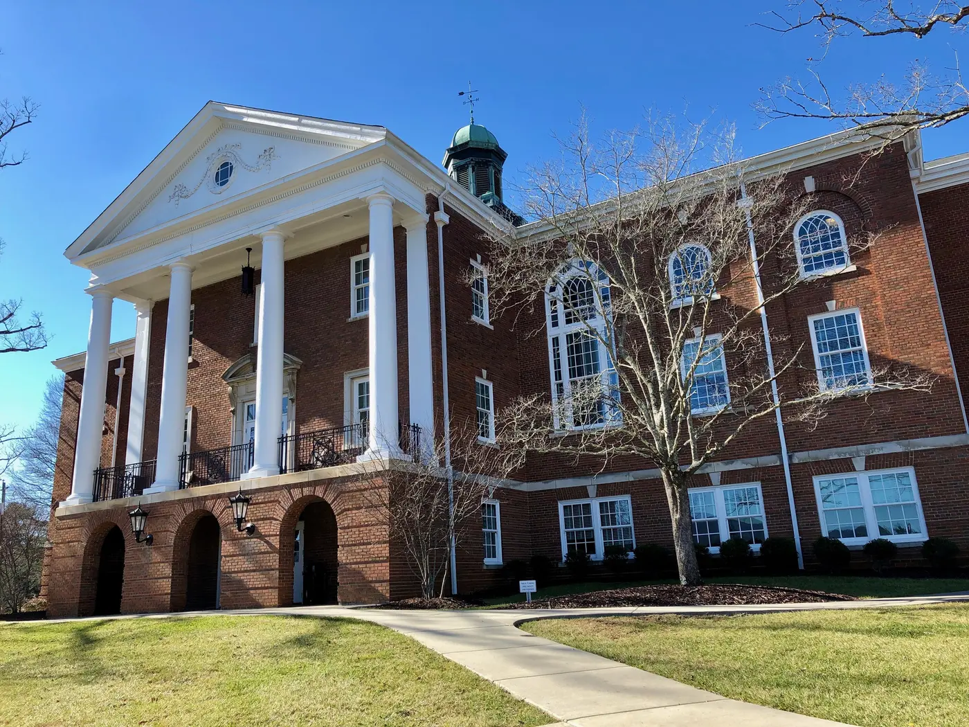
- Linwood Crump Shiloh Community Center, on the same grounds, in a six-room school built in 1927 that graduated its last class in 1969.
- Ray L. Kisiah Park, 70 West Chapel Road, off Sweeten Creek Road east of Shiloh, with four ballfields.
More in our parks and trails guide.
Getting around
- I-40: Exit 51, U.S. 25 Alternate (Sweeten Creek Road), and Exit 50, U.S. 25 (Hendersonville Road), are about 2.1 and 1.6 miles by road from Brooklyn Road.
- Downtown Asheville: about 4 miles by road.
- Asheville Regional Airport: about 9 miles by road.
- Buses: ART’s S1 runs from the ART Station through Biltmore Village to Shiloh and Medical Park, and the S3 and S6 along Hendersonville Road on Shiloh’s western edge, on the city’s maps and schedules page.
Distances were measured with the OSRM routing engine on OpenStreetMap roads from Brooklyn Road in Shiloh. They are distances, not drive times. More in our getting around guide.
Groceries and everyday stores
OpenStreetMap lists an Ingles at 780 Hendersonville Road, on Shiloh’s western edge. More supermarkets are farther south on Hendersonville Road; see our south Asheville page.
Frequently asked questions
Where is Shiloh in Asheville?
In south Asheville, bordered by Hendersonville Road on the west, Sweeten Creek Road on the east and north, I-40 on the north and Rock Hill Road on the south, according to the Shiloh Community Association’s plan on a page.
What high school is Shiloh zoned for?
T.C. Roberson High, in Buncombe County Schools. All four Shiloh points we checked were zoned for W.W. Estes Elementary, Koontz Intermediate, Valley Springs Middle and Roberson High.
Why is it called Shiloh?
The community’s plan says Shiloh was established in 1870 on land that is now the Biltmore Estate. When George Vanderbilt bought the land in the late 1880s, the community, Shiloh AME Zion Church and its cemetery were moved to the present site.
Is there a park in Shiloh?
Yes. Shiloh Park and the Linwood Crump Shiloh Community Center are at 121 Shiloh Road, with ballfields, basketball courts, a fitness course and a playground.
Have your say