West Asheville, across the French Broad River along Haywood Road, is ZIP code 28806. Zillow's typical value there was $393,020 in August 2026.
Last checked Oct. 11, 2026. Sources: the East-West Asheville Plan on a Page, the City of Asheville’s Haywood Road Corridor plan and neighborhood plans page, Buncombe County’s school district map layer, the N.C. Department of Public Instruction’s 2025-26 accountability data, the U.S. Census Bureau’s geocoder, OpenStreetMap and Zillow Research.
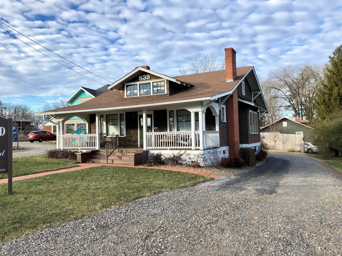
West Asheville is everything across the French Broad River from downtown, strung along Haywood Road, its main street. OpenStreetMap names it as a suburb of the city, and the city groups its neighborhoods in a West planning area. Homes are mostly single-family houses on small lots, with apartments along Patton Avenue and Haywood Road. Nearly all of it is in ZIP code 28806, and it is the one large part of Asheville where the school district changes from street to street.
What this means for you
- Zoned high school: depends on the street. Near Haywood Road it is Asheville High (65.4% of state tests at grade level in 2025-26); farther west it is Clyde A. Erwin High (36.6%). Check the address before you sign.
- Home value: $393,020 in ZIP code 28806 in August 2026, according to the Zillow Home Value Index.
- Nearest interstate exit: I-240 Exit 3B toward Westgate, about 1.6 miles by road from Haywood Road at State Street.
Part of our Asheville neighborhoods guide.
Where it is
The East-West Asheville Neighborhood Association’s plan on a page defines its area as “bounded on the North, East and South by the French Broad River and on the West by I-240/I-26, with the exception of Pisgah View.” Beyond the interstates, the city’s West planning area adds Wilshire Park, Malvern Hills, Falconhurst and Gaia Village, each with its own plan on the neighborhood plans page. The city lists a Burton Street Neighborhood Plan among its completed small area plans, along with a Haywood Road Corridor plan for the main street.
The neighborhood association’s plan says residents most often named “the neighborhood’s thriving, local business district along Haywood Road” as what they like, and named “inadequate infrastructure” as the main challenge. Eight of the nine West Asheville points we checked were inside the city limits on the Census Bureau’s geocoder; one near Emma Road, north of Patton Avenue, was in unincorporated Buncombe County.
Schools
West Asheville is split between Asheville City Schools and Buncombe County Schools. On Buncombe County’s school district map layer:
- Asheville City Schools: points on Haywood Road at State Street, on Brookshire Place, in Malvern Hills, in Pisgah View and on Patton Avenue near Burton Street. The district offers school choice at every grade level, according to its enrollment office.
- Johnston Elementary zone (Buncombe County): points in Wilshire Park (Rash Road) and on Deaverview Road, zoned for Johnston Elementary, Joe P. Eblen Intermediate, Clyde A. Erwin Middle and Clyde A. Erwin High.
- Emma Elementary zone (Buncombe County): a point in Hazel Green (Nancy Street) and one near Emma Road, zoned for Emma Elementary, Eblen Intermediate and the Erwin schools.
Scores are the share of state tests at grade level or above in 2025-26 and the state’s growth rating, from the accountability data.
| District | School | At grade level | Growth |
|---|---|---|---|
| City | Lucy S. Herring Elementary, 98 Sulphur Springs Road | 65.7% | Met |
| City | Hall Fletcher Elementary, 60 Ridgelawn Road | 48.1% | Met |
| City | Asheville Middle | 60.1% | Exceeded |
| City | Asheville High | 65.4% | Met |
| County | Johnston Elementary | 43.2% | Met |
| County | Emma Elementary | 52.7% | Exceeded |
| County | Eblen Intermediate | 49.1% | Not met |
| County | Erwin Middle | 39.5% | Not met |
| County | Erwin High | 36.6% | Not met |
Erwin High’s four-year graduation rate was 87%; Asheville High’s was 90.2%. Buncombe County Schools is at 828-232-4160. More in our schools guide.
Home values
Zillow publishes no figure for West Asheville alone. The Zillow Home Value Index is a modeled typical value for the middle third of homes, not a sale price.
| Area | August 2026 | August 2025 | Change |
|---|---|---|---|
| ZIP code 28806 | $393,020 | $411,949 | -4.6% |
| City of Asheville, for comparison | $448,688 | $472,411 | -5.0% |
Homes in the Asheville City Schools part also pay the district’s 11.75-cent supplemental tax; see our property tax guide. Trends are on our home prices page.
Parks and trails
From the city’s park finder:
- West Asheville Park, 198 Vermont Ave., home of Gassaway Field, with a playground and picnic shelter.
- Malvern Hills Park, 75 Rumbough Place.
- Burton Street Park and community center, 134 Burton St., in a 1928 school building.
- Augusta Barnett Park, 18 Clinton Ave., a playground and basketball court.
- Roger Farmer Park, 71 Deaverview Road, with ballfields and a multi-sport court.
- Carrier Park, 220 Amboy Road, on the river: its east side is open; its west side is closed after Helene.
- The Hominy Creek Greenway, a dirt trail from 26 Shelburne Road.
More in our parks and trails guide.
Getting around
- I-240 and I-26: Exit 3B toward Westgate is about 1.6 miles by road from Haywood Road at State Street; Exit 1B at Brevard Road about 1.8 miles.
- Downtown Asheville: about 3.2 miles by road.
- Asheville Regional Airport: about 12 miles by road.
- Buses: ART’s W1 (to Deaverview Road), W2 (to Brevard Road and the Asheville Outlets park-and-ride) and W6 (to Pisgah View Apartments) all run along Haywood Road; the W5 serves North Louisiana Avenue and Emma Road, and the WE1 New Leicester Highway, on the city’s maps and schedules page.
Distances were measured with the OSRM routing engine on OpenStreetMap roads from Haywood Road at State Street. They are distances, not drive times. More in our getting around guide.
Groceries and everyday stores
From OpenStreetMap:
- Ingles, 669 Haywood Road, and another Ingles on New Leicester Highway
- ALDI, 1344 Patton Ave.
- Earth Fare, 66 Westgate Parkway, in the Westgate shopping center
- United Grocery Outlet, 121 New Leicester Highway
- Pharmacies: Walgreens, 1124 Patton Ave.; B&B Pharmacy, 462 Haywood Road; CVS Pharmacy on Westgate Parkway
Frequently asked questions
What school district is West Asheville in?
It is split. The points we checked near Haywood Road, Burton Street, Malvern Hills and Pisgah View were in Asheville City Schools. Points in Wilshire Park, on Deaverview Road and in Hazel Green were in Buncombe County Schools, zoned for Clyde A. Erwin High.
What ZIP code is West Asheville?
- Zillow’s typical home value for ZIP code 28806 was $393,020 in August 2026, the lowest of Asheville’s five main ZIP codes and down 4.6% in a year.
Where does West Asheville start and end?
The East-West Asheville Neighborhood Association defines its area as bounded by the French Broad River on the north, east and south and by I-240 and I-26 on the west. The city’s West planning area also takes in Wilshire Park, Malvern Hills, Falconhurst and Gaia Village.
What bus goes down Haywood Road?
ART’s W1, W2 and W6 routes run along Haywood Road from the ART Station downtown, according to the city’s maps and schedules page.
Have your say