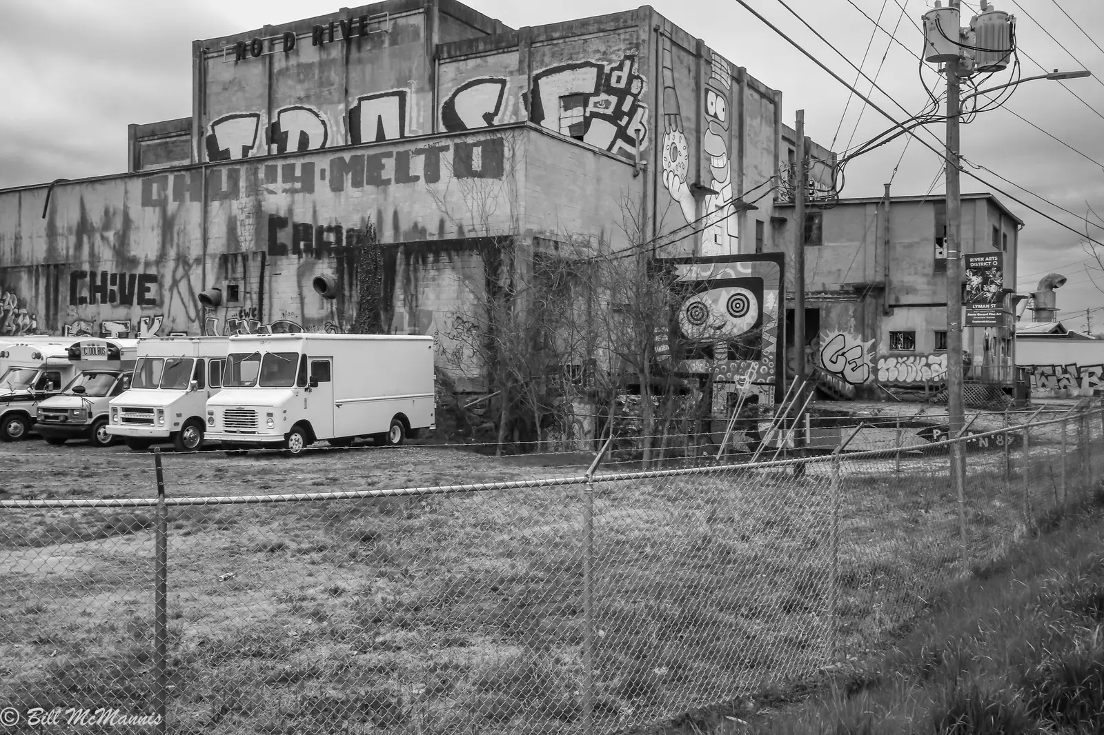
The River Arts District lines the French Broad River west of downtown Asheville, in ZIP code 28801 and Asheville City Schools, on the Wilma Dykeman Greenway.
Last checked Oct. 11, 2026. Sources: the City of Asheville’s Wilma Dykeman RiverWay Plan, the WECAN neighborhood plan and neighborhood plans page, Buncombe County’s school district map layer, the N.C. Department of Public Instruction’s 2025-26 accountability data, the U.S. Census Bureau’s geocoder, OpenStreetMap and Zillow Research.
The River Arts District is the strip of former warehouses and mills along the east bank of the French Broad River, between downtown and West Asheville. OpenStreetMap names it as a neighborhood centered on Roberts Street, and the city’s Wilma Dykeman RiverWay Plan of 2004 calls it “the site of large existing industrial warehouses and the ruins of the Cotton Mills,” a district of “new and reused buildings of mixed-use offering live/work arrangements for artisans and those interested in living along the River.” Most homes are apartments and live-work spaces, with houses on the hill above in the West End Clingman Avenue neighborhood (WECAN). It is in ZIP code 28801. For studios, hours and events, see our River Arts District visitor guide.
What this means for you
- Zoned high school: Asheville High, 65.4% of state tests at grade level in 2025-26. Asheville City Schools families choose among the district’s schools; enrollment is 828-350-6111.
- Home value: $551,288 in ZIP code 28801 in August 2026, according to the Zillow Home Value Index.
- Nearest interstate exit: I-240 Exit 4C at Montford Avenue and Haywood Street, about 1 mile by road from Depot Street.
Part of our Asheville neighborhoods guide.
Where it is
The district follows Riverside Drive and Lyman Street along the river, with Depot Street, Roberts Street and Clingman Avenue climbing toward downtown. The Haywood Road and Craven Street bridges cross to West Asheville. The city’s plan lists WECAN, “West End Clingman Avenue,” among its Central area neighborhoods.
Tropical Storm Helene flooded the district in September 2024. Before you buy or rent near the river, check the property’s flood zone with the county. All five points we checked were inside the city limits on the Census Bureau’s geocoder.
Schools
The district is in Asheville City Schools. All five points, from Riverside Drive north of the Haywood Road bridge to Lyman Street, fell in the city district on Buncombe County’s school district map layer. The district offers school choice at every grade level to families who live in it, according to its enrollment office.
Scores are the share of state tests at grade level or above in 2025-26 and the state’s growth rating, from the accountability data.
| Level | School | At grade level | Growth |
|---|---|---|---|
| Elementary | Hall Fletcher Elementary, 60 Ridgelawn Road | 48.1% | Met |
| Elementary | Isaac Dickson Elementary, 125 Hill St. | 65.2% | Met |
| Middle | Asheville Middle, 211 S. French Broad Ave. | 60.1% | Exceeded |
| High | Asheville High, 419 McDowell St. | 65.4% | Met |
ART’s S4 route links the district’s Depot Street with Asheville Middle and Asheville High. More in our schools guide.
Home values
Zillow publishes no figure for the district. The Zillow Home Value Index is a modeled typical value for the middle third of homes, not a sale price.
| Area | August 2026 | August 2025 | Change |
|---|---|---|---|
| ZIP code 28801 | $551,288 | $565,274 | -2.5% |
| ZIP code 28806 (West Asheville, across the river) | $393,020 | $411,949 | -4.6% |
| City of Asheville, for comparison | $448,688 | $472,411 | -5.0% |
Trends are on our home prices page.
Parks and trails
- The Wilma Dykeman Greenway runs through the district, with trailheads at the Amboy Road and Lyman Street intersection and at Hill Street and Riverside Drive. It is open; the 8 River Arts Place parking lot is closed.
- Jean Webb Park, 86 Riverside Drive, has river access and benches under the Haywood Road bridge.
- Craven Street Park, 192 Riverside Drive, and the French Broad River Greenway across the Craven Street bridge. The city asks visitors to riverfront areas hit by Helene to follow posted signs and barriers.
More in our parks and trails guide and walking and biking trails.
Getting around
- I-240: Exit 4C at Montford Avenue and Haywood Street is about 1 mile by road from Depot Street; Exit 3B toward Westgate about 1.4 miles.
- Downtown Asheville: about 1.4 miles by road.
- Asheville Regional Airport: about 14 miles by road.
- Buses: ART’s W1, W2 and W6 run through the district on Roberts Street, and the S4 on Depot Street, on the city’s maps and schedules page.
Distances were measured with the OSRM routing engine on OpenStreetMap roads from Depot Street. They are distances, not drive times. More in our getting around guide.
Groceries and everyday stores
OpenStreetMap lists no supermarket inside the district. The nearest are across the river in West Asheville: Ingles at 669 Haywood Road and Earth Fare at 66 Westgate Parkway, with a CVS Pharmacy on Westgate Parkway. New Belgium Brewing at 21 Craven St. hosts the River Arts District Farmers Market; see farmers markets.
Frequently asked questions
Can you live in the River Arts District in Asheville?
Yes. The district is mostly studios, galleries and former industrial buildings, with apartments and the WECAN neighborhood’s homes on the hill above Clingman Avenue. It is in ZIP code 28801 and Asheville City Schools.
What school district is the River Arts District in?
Asheville City Schools. All five points we checked, from Riverside Drive to Lyman Street, fell in the city district on Buncombe County’s school district map. Asheville Middle, 211 S. French Broad Ave., is about a mile away.
Did the River Arts District flood in Helene?
Yes. Tropical Storm Helene flooded the district in September 2024. Its artists association says the district is open again, and the city’s Wilma Dykeman Greenway through it is open, with the 8 River Arts Place parking lot closed.
What bus serves the River Arts District?
ART’s W1, W2 and W6 routes run through the district on Roberts Street, and the S4 on Depot Street, according to the city’s maps and schedules page.
Have your say